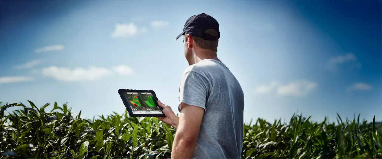
We call it a plant health map,” says Nederend, drawing a comparison to FieldView’s standard field health image feature with some distinct differences. “This imagery essentially tells you where your vegetation is, and how well it’s growing. Armed with that information, you can go out there knowing which areas of the field you need to scout.”
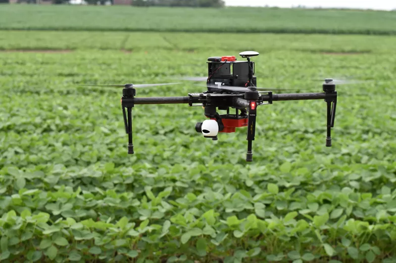
The NDVI drone imagery also offers the advantage of providing on-demand data when satellite imagery is not an option, which can happen during overcast periods.
Beyond just collecting the data, there’s also the matter of interpreting it. While detailed plant health imagery can give insights into yield potential, Nederend cautions that it’s important to use the data to learn from your fields, rather than taking the data at face value. High concentrations of vegetation can indicate flourishing crops – but not always.
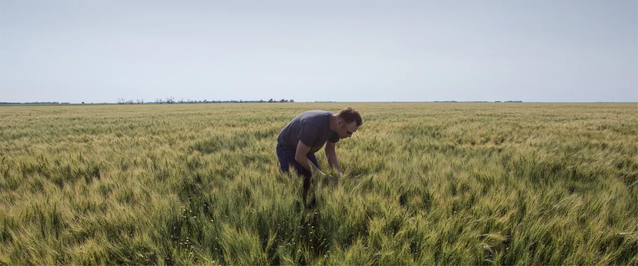
“It’s about managing your crops with new information,” he says. “Let’s say you’re a wheat farmer, you’re growing winter wheat, and you’ve had a tough winter. Then let’s say the first thing you want to do in the spring was get a drone flight from us. The first one will show you low NDVIs where the wheat died. If you don’t do anything to remediate that problem, later in the season, that low NDVI is going to turn into a very high NDVI as weeds fill up that empty space.”