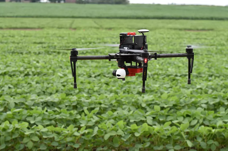
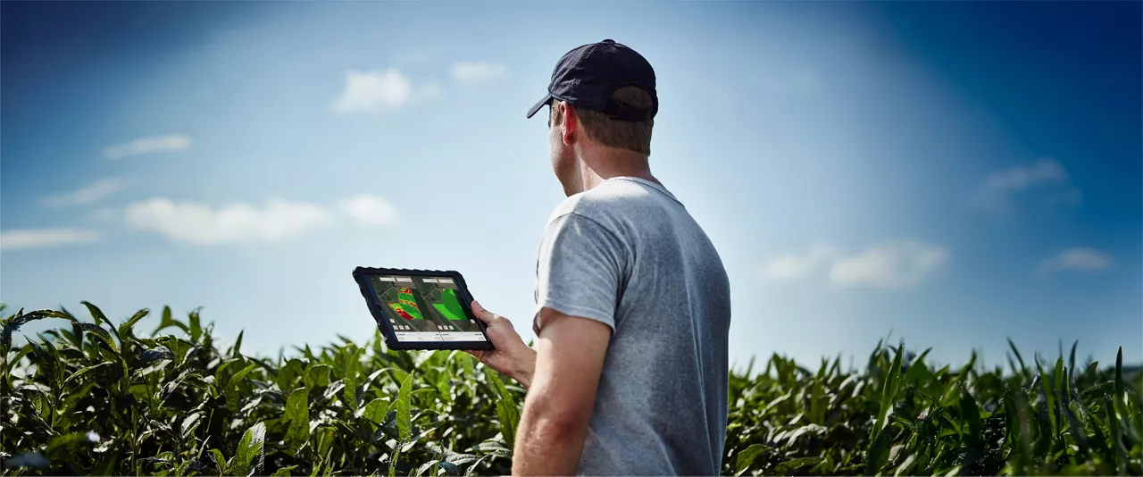
FieldView vegetation maps can help you monitor biomass over time and feature advanced color mapping with a higher level of image detail that can also help you understand the level of crop growth across your operation. The true color option provides a more realistic view of crop variations while our vegetation index and scouting maps help you focus on key threat areas. Through our recently announced platform partnerships, FieldView also has the ability to import higher resolution aerial imagery, providing a similar view of your fields that would you would see if you were to fly over them, along with with enhanced scouting and plant health features.
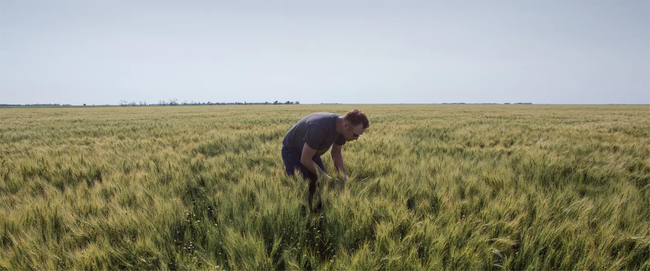
As the growing season progresses toward harvest, you have a lot to think about. Give yourself peace of mind — and uncover valuable field insights — with FieldView resources that provide an inside look at the health of your crops and fields. Your Climate FieldView dealer is always available to help you with your field health needs. Or feel free to contact the Climate Support Team at (888) 924-7475 or support@climate.com.