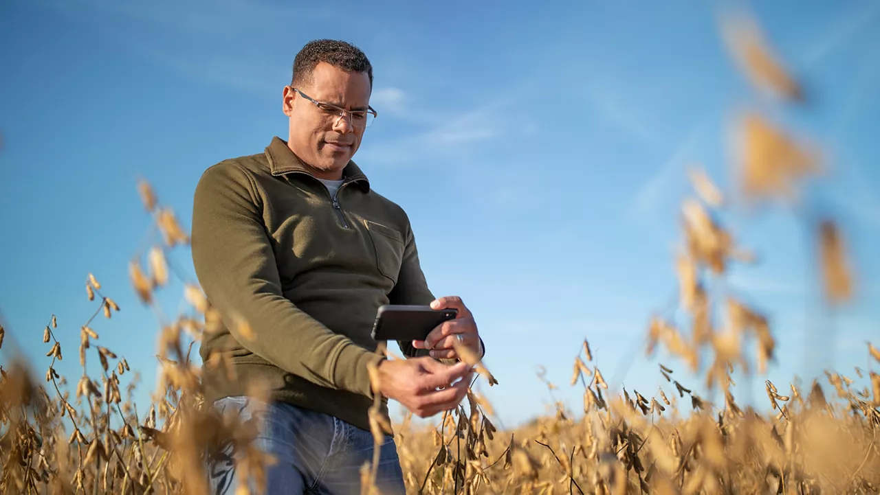
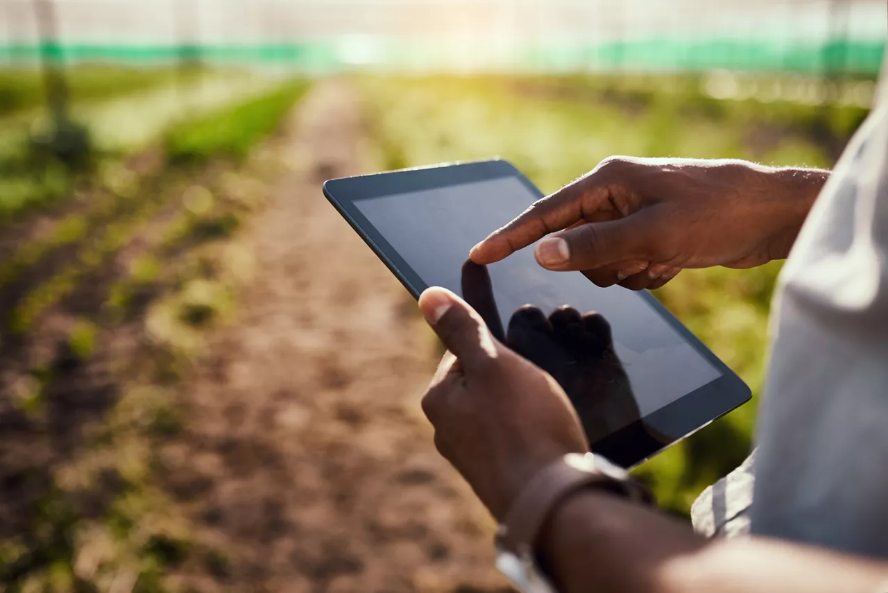
Four FieldView™ Features to Simplify Your Growing Season
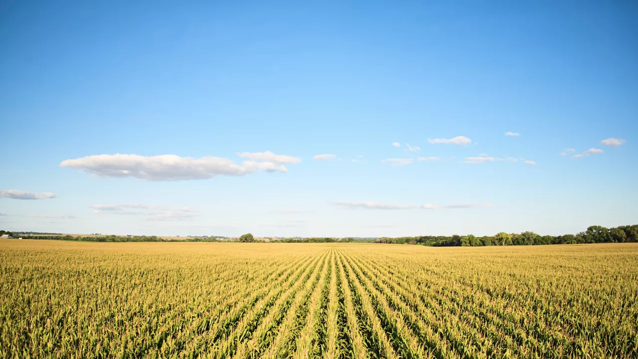
From tracking rainfall totals to monitoring your fields' health, here are four FieldView features that will make your growing season less stressful.
From tracking rainfall totals to monitoring your fields' health, here are four FieldView features that will make your growing season less stressful.

Prepare for planting season with these seven essential reminders. Ensure your equipment is compatible, map field boundaries, preload seed data, update the FieldView Cab app, sync your data and install the FieldView™ Drive 2.0 for seamless precision farming. Learn how FieldView™ helps you track and optimize every step.
Every good plan starts with a checklist. Here are some to-dos we recommend checking off for a productive planning season.
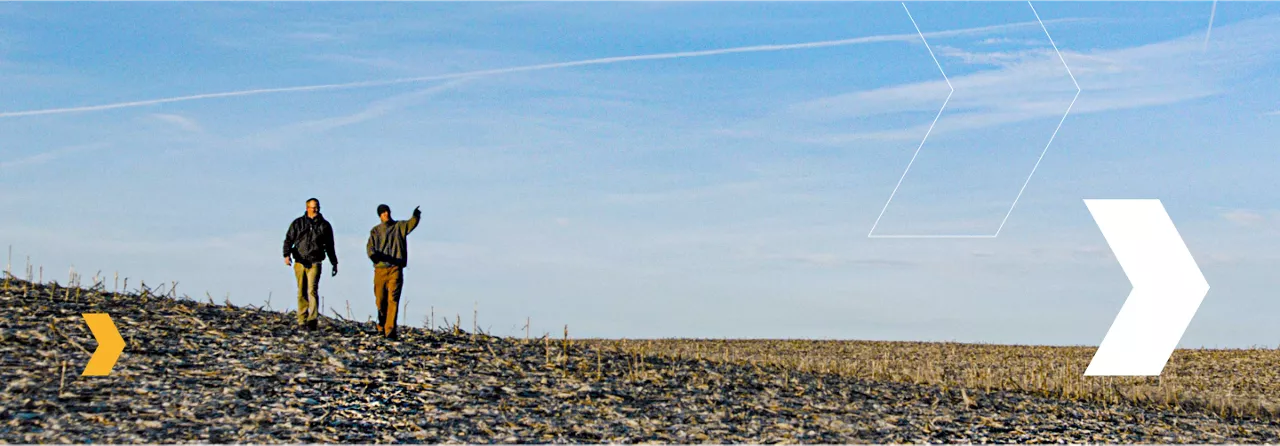
The smart farm: it’s a concept we’re all familiar with today. That’s thanks to the work of a few innovators in agricultural technology. Let’s meet some of them.

An innovative new approach takes root with the Preceon Smart Corn System. See how this new agricultural technology helps farmers get more from every acre.
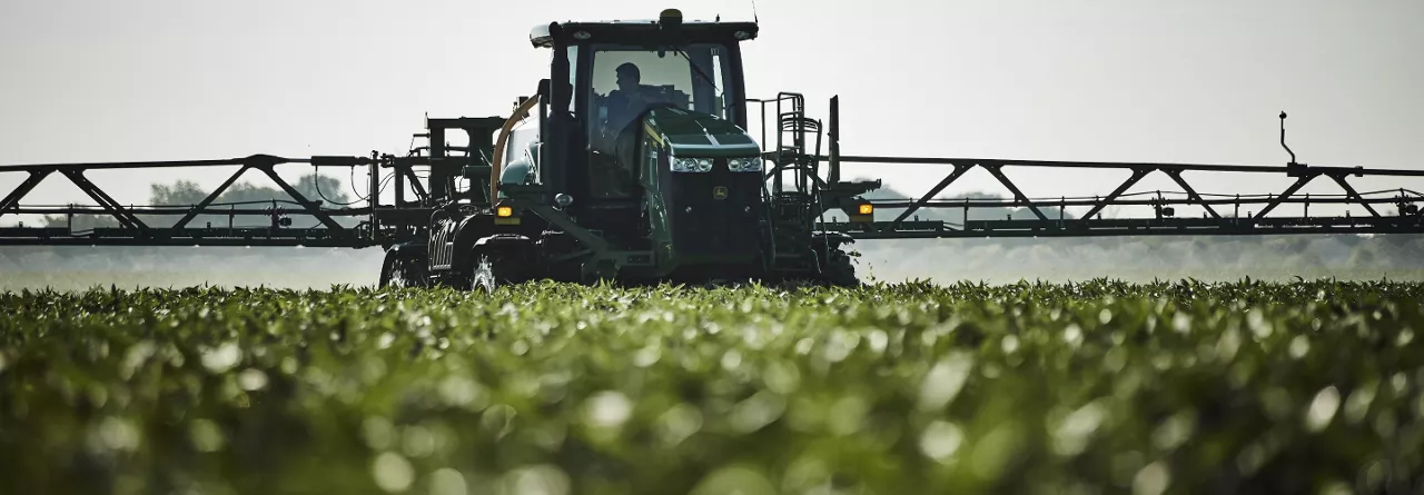
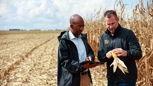
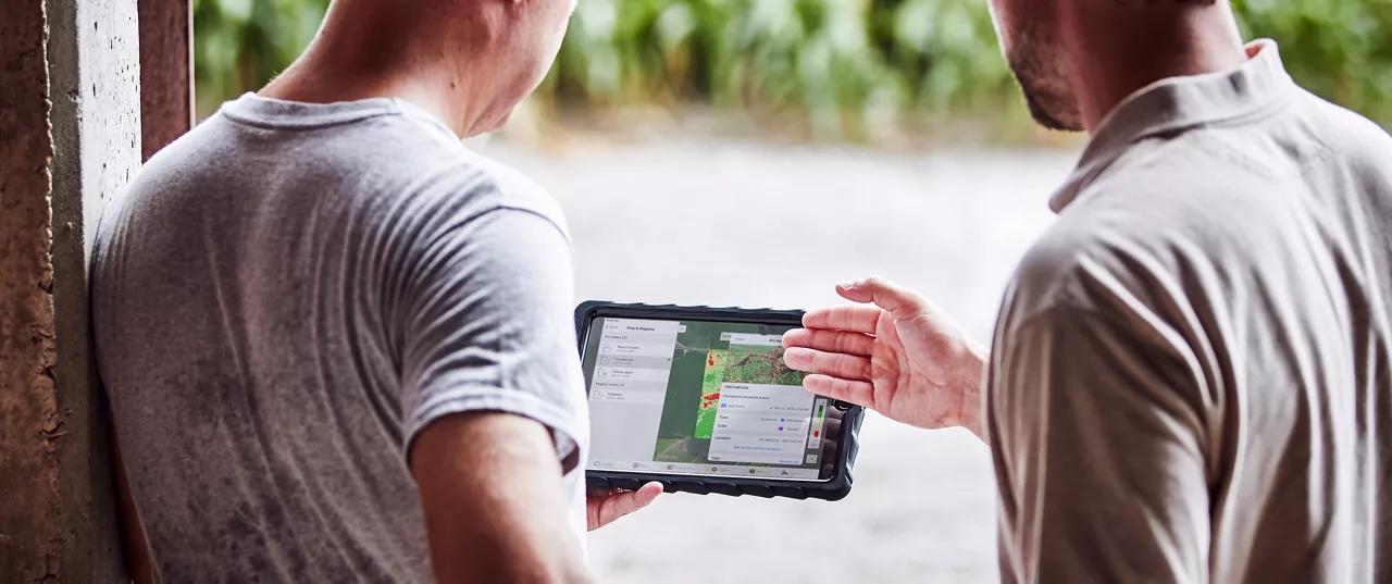
Use FieldView™ farm management software to boost nutrient efficiency. Learn how our agricultural technology helps optimize nitrogen across every acre.
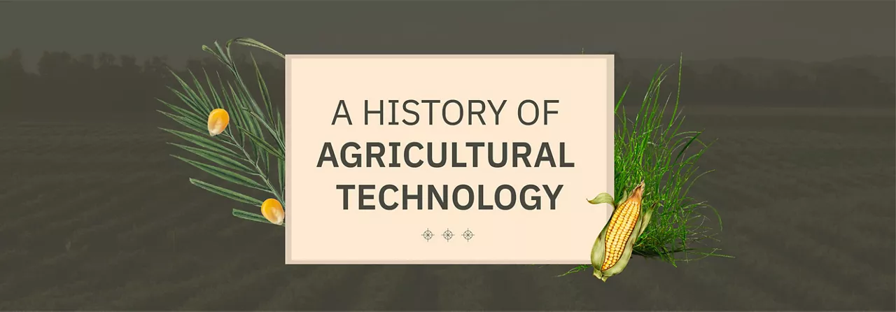
Long before AI-powered farming technology redefined planting zones and optimized fertilizer use, ancient farmers relied on instinct and observation to cultivate fertile soil. Learn how their early advances planted the seeds for the digital agriculture revolution that grows today.
La Niña is out, ENSO-Neutral is in. This could mean wetter fields in the Ohio River Valley, warmer temps across the southern and eastern U.S. Corn Belt, and a toss-up everywhere else. Here’s how to prepare for the 2025 corn and soy planting season.
Here’s a look at how FieldView and ForGround by Bayer work hand-in-hand to help growers tap into potential revenue streams from carbon farming.

Weather modeling is like a corn maze, bobbing for apples explains the jet stream, and the classic sack race can reveal the complex mathematics of making a forecast.
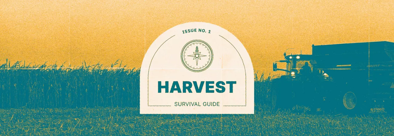
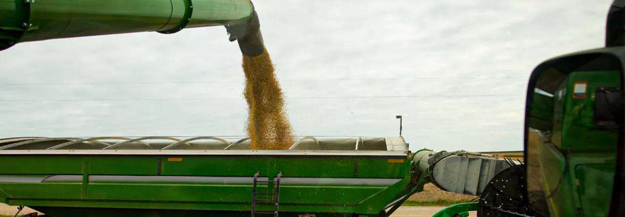
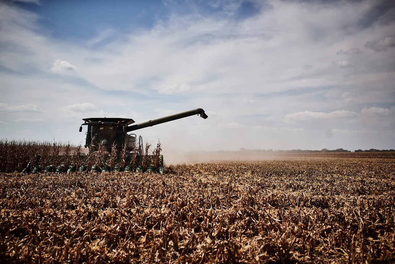
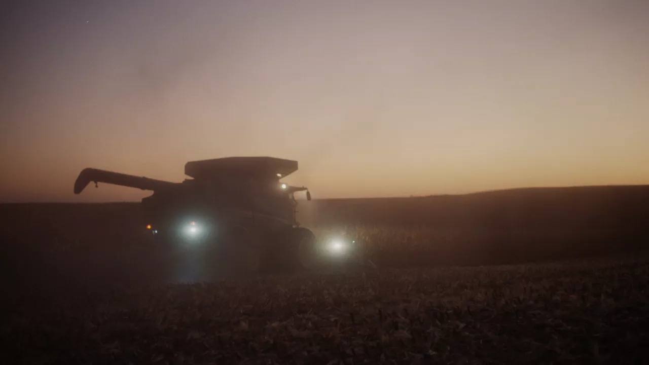
It’s almost that time again. It’s harvest, and it can feel like an entire year’s work is on the line.
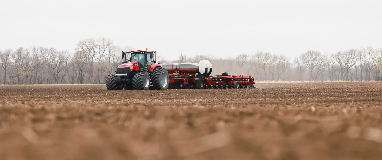
The FieldView Drive 2.0 can send seed scripts without a thumb drive, has built-in GPS, offers faster data syncing and compatibility with a wider range of equipment.
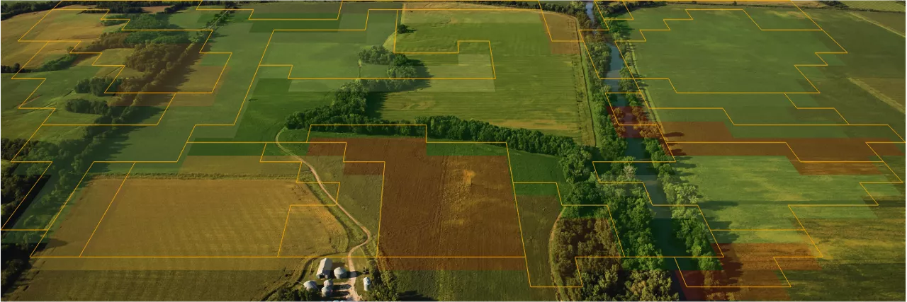
Let’s take a look at what’s new with Field Region Reports, and how you can take advantage of the latest updates.
Amidst changing weather patterns, unpacking the connection between nature and crop health can be incredibly complex.
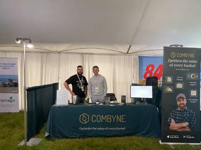
Let’s dive deeper into Combyne and learn more about how it works together with FieldView™ to help growers with the revenue side of running a farm.

Let’s explore what this summer’s cicada brood can bring to your acres.

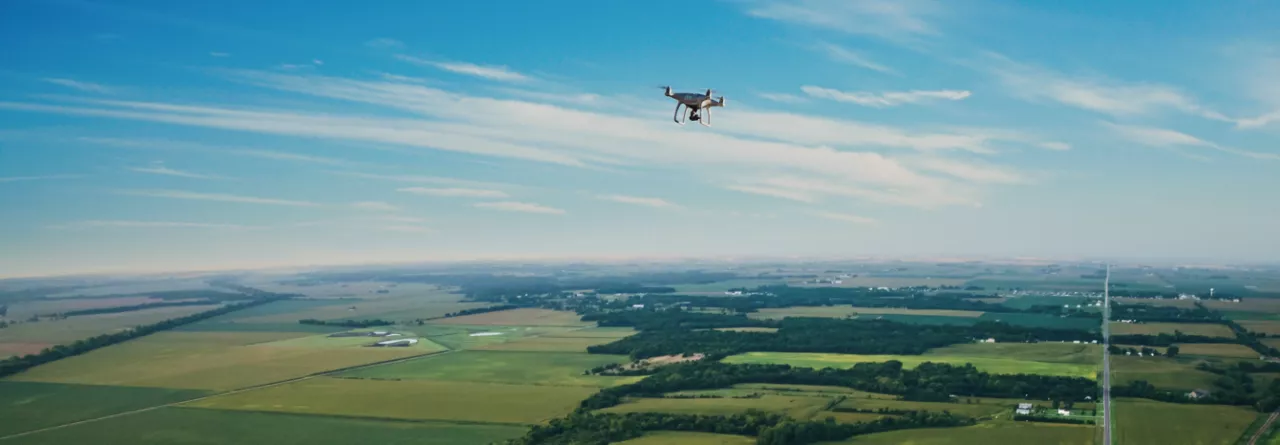
FieldView's platform partner, Drone Deploy, gives you cutting-edge software gives you a deeper understanding of your fields, and can help you make more efficient, informed decisions—all from the edge of your field.

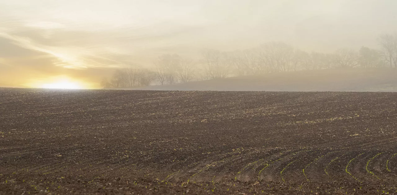
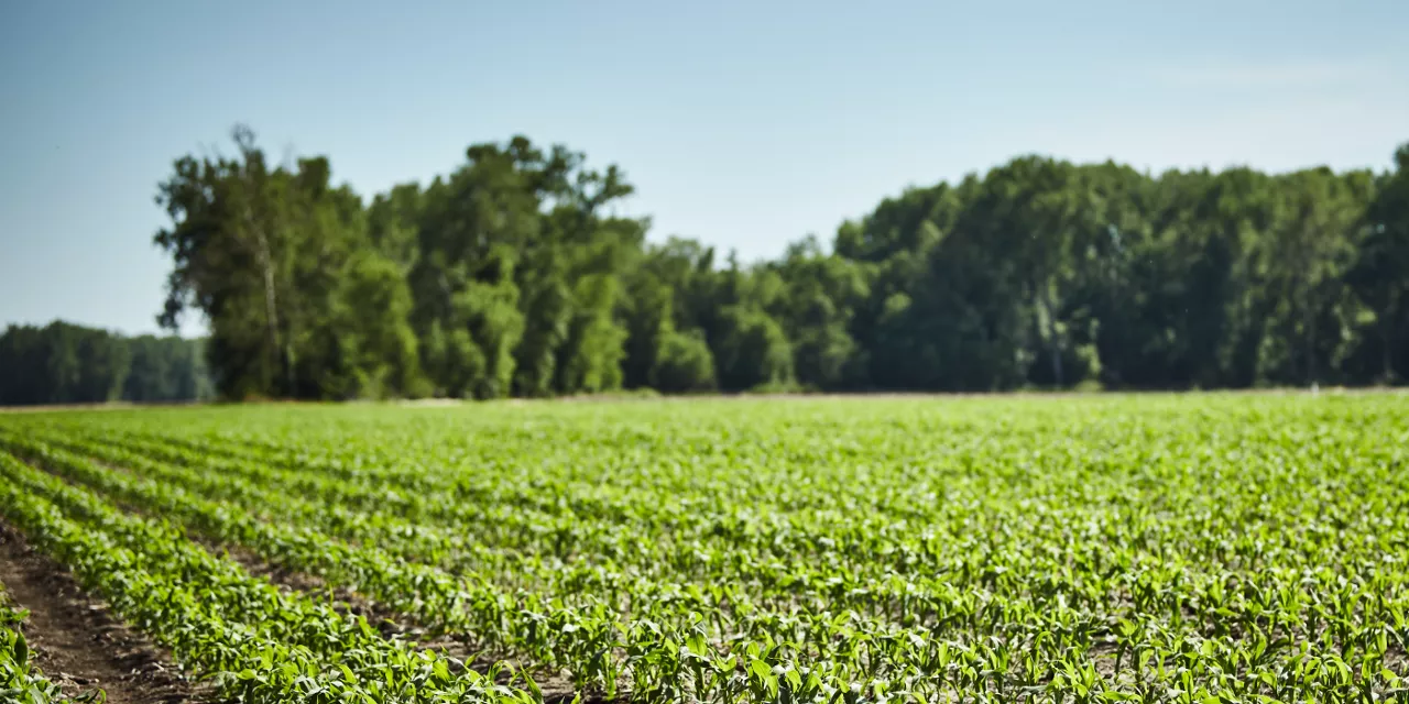
Planting season is upon us, and so is the unpredictable weather characteristic of this time of year. The decisions you make now could have lasting effects for the rest of the year.
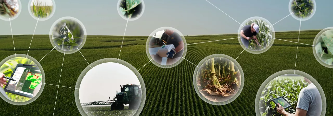
Understanding how technology impacts and benefits our customers’ operations, generating deeper insights into how data-driven tools can help them manage and adapt to climate change and shifting market conditions, and how these systems can lead to future success.
Let’s talk about why global forecasts are easier than local ones, a weather phenomenon you've probably never heard of, and why you should pay attention to the oceans even if you're thousands of miles from the beach.
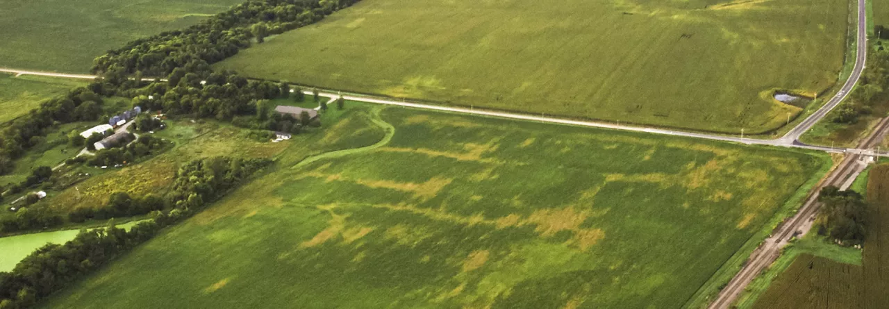
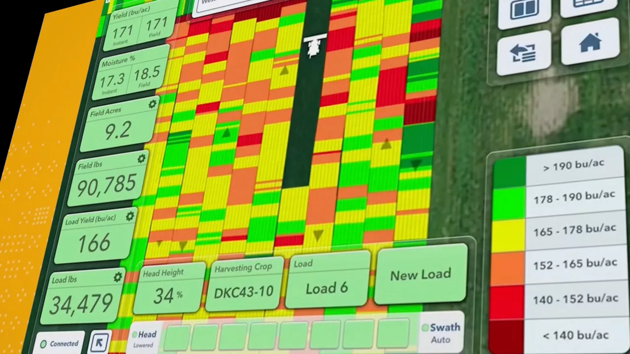
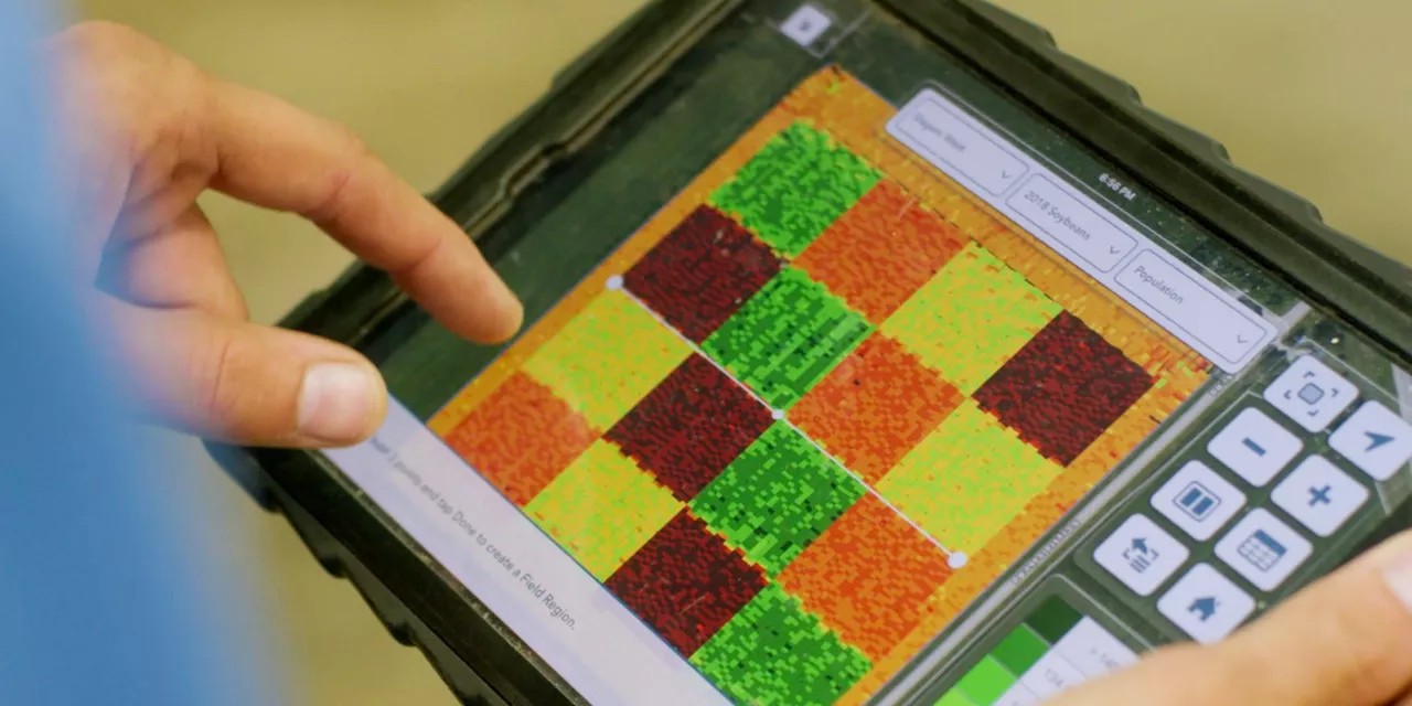
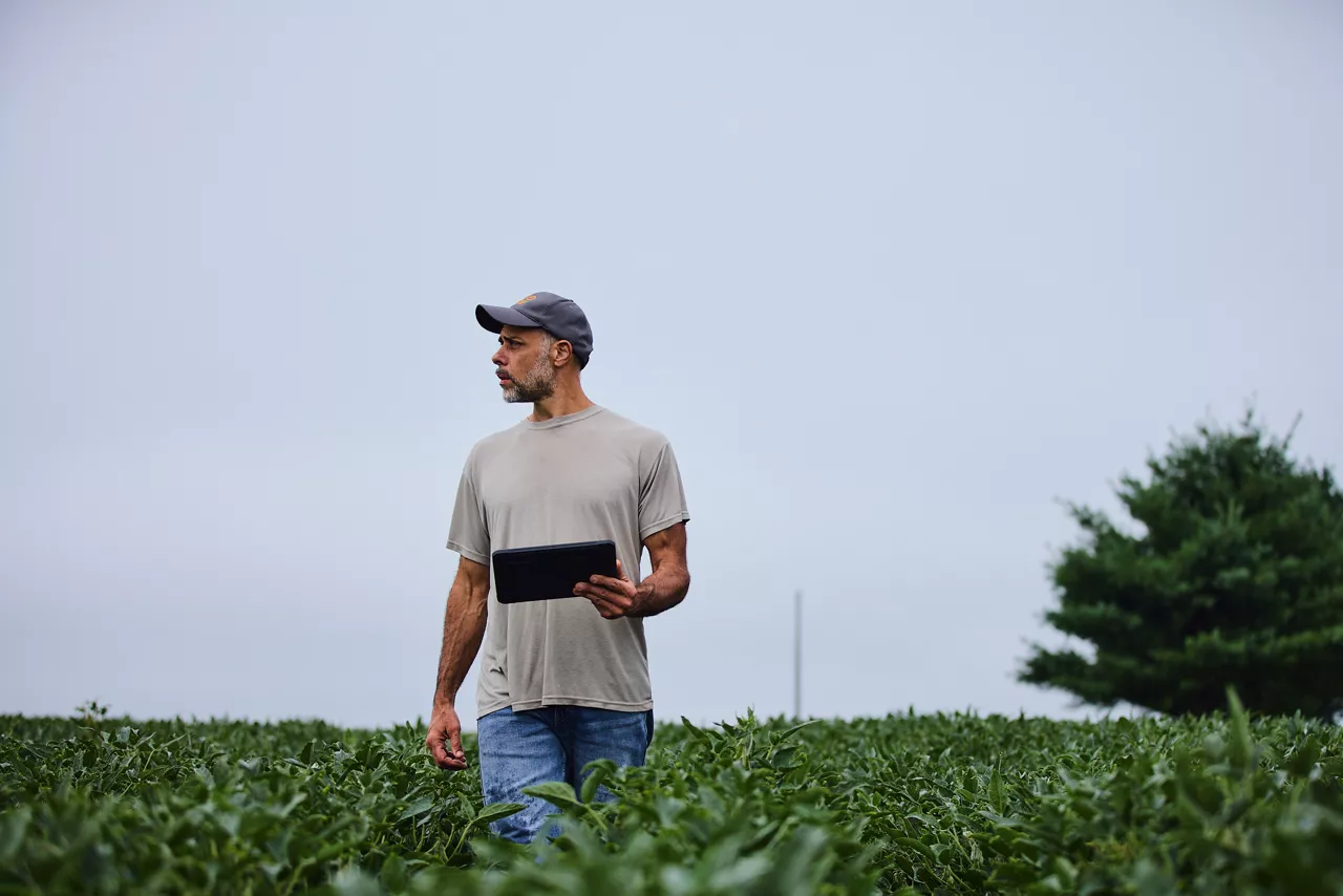
FieldView makes it easy to spot inconsistencies in the field; it’s just a matter of telling the difference between dark green and light green.
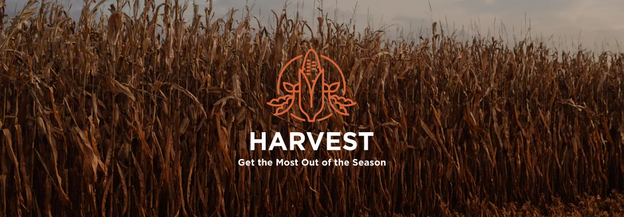
To end the harvest season on the right note, you have to start out strong.

There’s something in your soil that could spell trouble for next season. But there is good news, we can help.

Hear Harmon's journey into regenerative agriculture.
Read about a few overlooked factors that could silently be impacting the presence of disease in your fields.
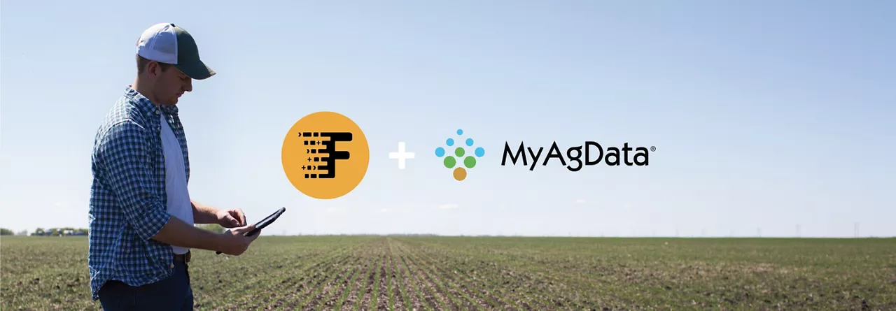
Key takeaways about how FieldiView and MyAgData, a cloud-based systems that simplifies acreage reporting, work together.
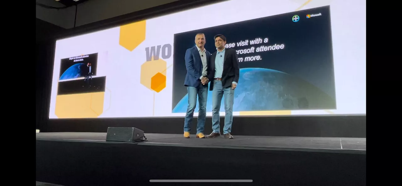
Introducing the Microsoft Azure Data Manager for Agriculture (ADMA) and Bayer AgPowered Services partnership.

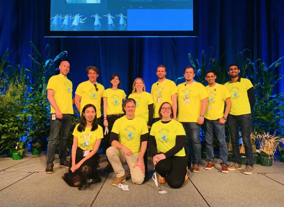
If there’s one thing I’ve learned about managing our diversity, equity, and inclusion (DEI) program at Climate, it’s that trust is the foundation for progress.

2022 CarbonStock Grants4Tech challenge, an annual external Bayer program designed to foster innovation, this year focusing on the science of carbon
A sneak peek into the year ahead.
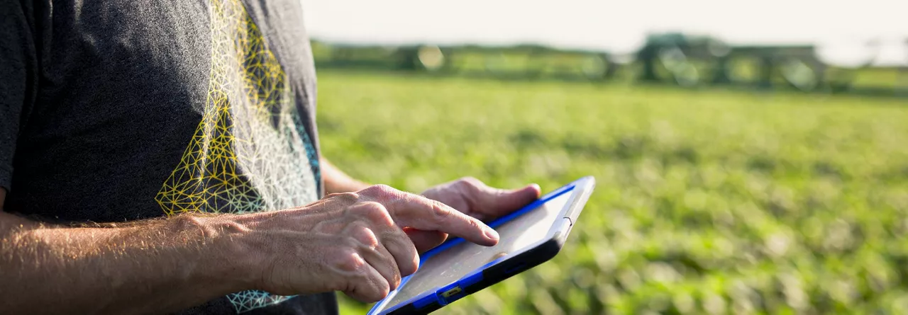
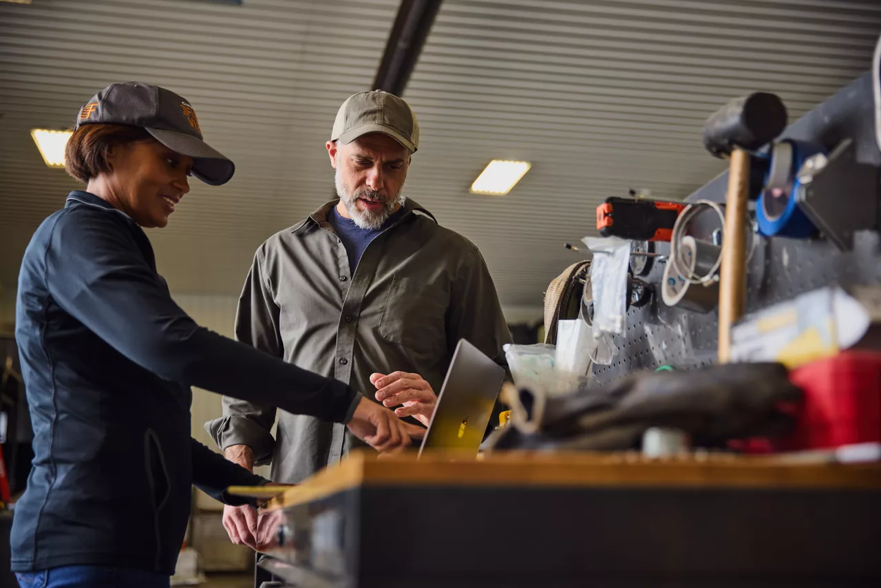
Just like your machinery needs the right fuel in order to function, any digital farming platform depends on high quality data to do its job well. There are simple steps you can take to maintain your data integrity so that you—and FieldView—can optimize your results and take your operation to the next level.
We are committed to improving the knowledge base, to drive on-farm impact for growers and for society.
Your farm always tells the truth. And when you know how to hear it, that truth is one of the most powerful tools a farmer can have.
I couldn’t be happier than to have spent my summer focusing on a Climate FieldView™ feature project that will deliver a ton of value to farmers around the world by streamlining a small, but critical, part of the planting process.

It pays to have a fully-formed strategy for the season ahead. But even the best laid plans shouldn’t be set in stone.
With planting season now over in most parts of the Midwest, it’s time to look ahead at what weather you can expect this growing season.
?fmt=webp)
The story of the technologies that are making our food systems more resilient has so many more chapters than the myriad direct benefits we bring to our customers.
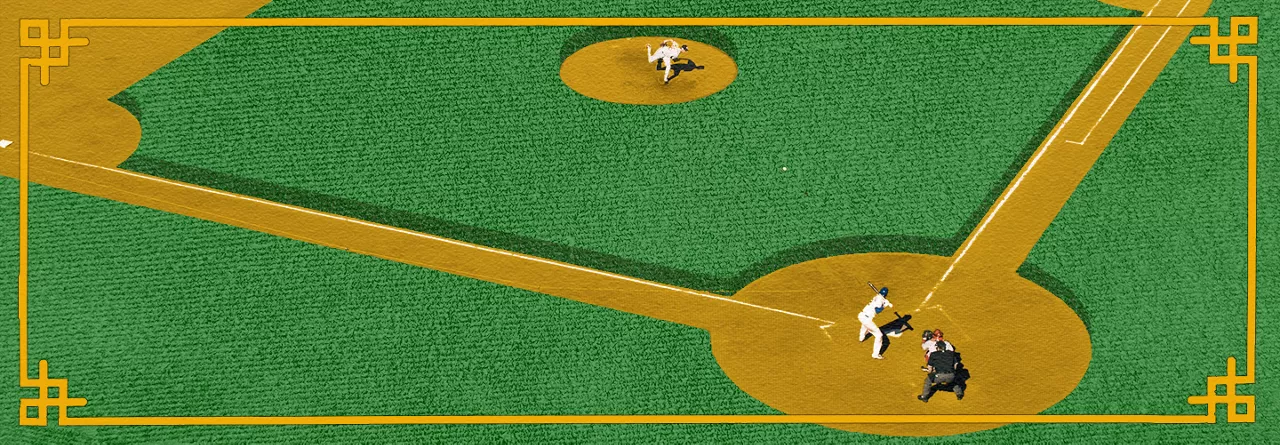
Both baseball and farming require a good balance—whether it's spreading your bets on players or planting a mix of seeds — using data to make smarter, long-term decisions instead of getting caught up in one bad season or player performance.
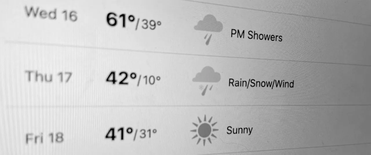
Weather forecasts play a critical role in many of the decisions we make, and doubly so for agriculture, where products of labor and investment are exposed to increasingly volatile and unpredictable patterns as our climate changes.
Jeremy Williams, Head of Climate LLC and Digital Farming at Bayer Crop Science, sat down with Tom Eickhoff, Chief Science Officer for Climate LLC, for a short conversation about our own areas of research and where we’re delivering new value to farmers and society at large.
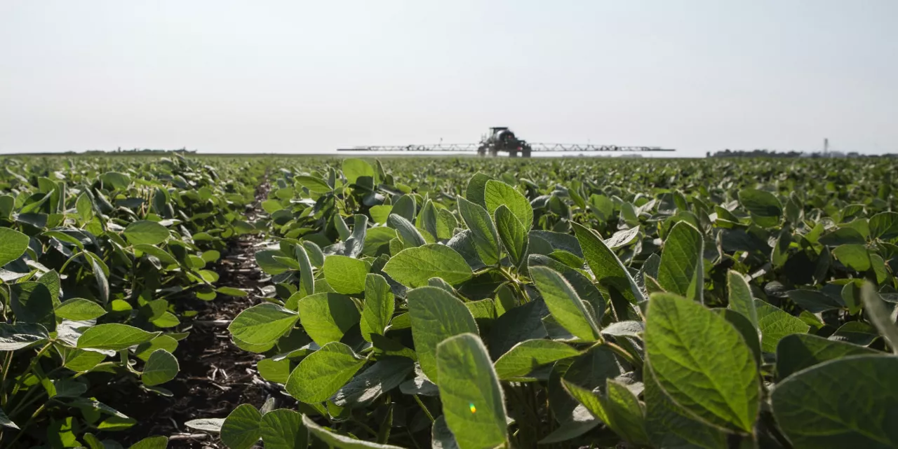
FieldView's new tools help every ounce of fertilizer go the extra mile.
We studied 100 different farmers growing in nine states across the U.S. Corn Belt, and set out to break down the average return on their investment in soil health.

The Bayer digital farming partnership with Microsoft will not only set sights on new innovation horizons for digital farming, but will open the door to further partnership and participation in a more sustainable, productive, traceable, and efficient global food value chain.
Connecting what happens on the field to the balance sheet is no easy feat. FieldView™ platform partners like Conservis, Ag-Analytics and Traction Ag are harnessing software to empower farmers with more knowledge about their financial performance.

For Channel Seedsmen and Agronomists, the Field Check Up Series is a way to monitor what’s going on in the farmer’s fields throughout the growing season.
What impacts do climate-smart practices like cover cropping, conservation tillage, and crop rotation have on crop productivity, farm return on investment, and the many risky decisions farmers make season after season?
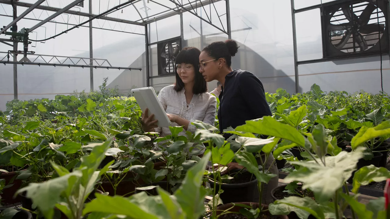
As machine learning, computer vision and artificial intelligence have progressed, many of the platform partners on FieldView™ have simplified digital scouting tools.

Can machine learning and data science be used to predict the future for growers?
when it comes to fungicide, timing is everything. Just like planting and harvest, you have specific windows to strike while the fungi are vulnerable, and your crop is ready to fight.
We’re making FieldView accessible to as many farmers as possible. The platform is already compatible with 80% of modern machinery in the Corn Belt. I’m dedicated to that last 20%. Regardless of brand name or age, the leading platform in digital farming should be compatible with more operations.

Balancing and addressing both computational capacity as well as the maintenance of farmer data ownership are critical as we think about the usability of all this data.
It pays to get ahead, because the best way to beat seedling disease is to not get it in the first place.

Where does the rain come from? Rest assured, I can explain why rainfall occurs. However, I’m still pursuing a deeper understanding of what Mother Nature has in store for your crops and our operations here at Climate LLC and Bayer Crop Science.
As our platform expands around the world, we’re in a unique position in 2021 not only to drive availability of digital tools for all kinds of farmers, but to build out our data layers across the world and make the Climate FieldView™ platform even more robust for all our customers.
Steve Skelton began working on the farm as soon as he was able. And while his operation has had its ups and downs, two things have remained constant: Steve’s relentless passion and willingness to learn new things.

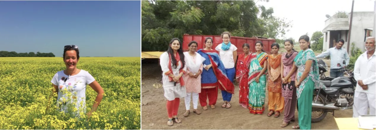
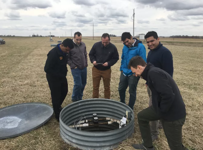
We’d like to share in advance a look into Climate LLC research pipeline in the words of Chief Science Officer Brian Lutz, aided and supported by the managers of our Climate Research Farms and Digital Ag & Sustainability Lead Dr. Pamela Bachman.

The FieldView Drive can make old equipment collect data like a brand-new model. With only a simple GPS and Bluetooth® connection, you can automatically track every planting, spraying and harvest pass.

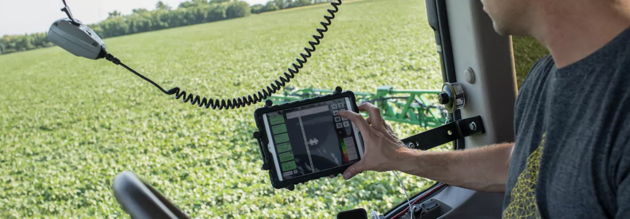
The FieldView Cab app turns planting, application or harvest data into a format you immediately understand.
Variable rate seeding pairs precision agriculture technologies with data unique to your farm to help strategically optimize the number of plants per square foot.
During the unforgiving cold, Mother Nature continues nurturing the soil with natural cycles that repair and replenish the world beneath our feet.

Despite a global pandemic, farmers across the country have continually found ways to stay safe and productive. That alone is an accomplishment worth celebrating.

If you want field data to help you make decisions, it needs to be accurate. Read on to hear how Andrew Knaack manages his data.
“Inclusion@Climate: Sowing the Seeds of Belonging” is a feature created by Climate LLC’s Inclusion & Diversity team to highlight the diverse backgrounds of our employees as well as their achievements, passions, and personalities. The second entry in this series is a conversation with Matt Garvert, Director of Data in our Science organization.
Digital agriculture is the future, no matter the size of the farm or what’s being grown on it. It’s just a matter of building a platform extensible to all sorts of farmers, with a clear understanding of the value they can gain on their operations.
If you’re like me, with so much on your mind and on your to-do list, it can be easy to inadvertently skip over some of the details — the kinds of details that make sure you’re both productive and safe this spring. So when the pressure feels like it’s on, here are a few things to be sure not to miss before you head out to the fields.
At Climate we are working on projects which improve our customers’ experience by using cross-domain knowledge, including data science, machine learning, remote sensing, atmospheric science, agronomy, and engineering infrastructure.

Andrew Starr sits down with Brad Joern to discuss soil management coming out of a soaked 2019.
Over the years, using variable rate seed prescriptions has helped ensure I’ve got the right amount of seed in the right areas of the field to make a return.
Recent advances of digital tools has made it much easier to run test plots — which has changed how I look at them for my operation and how I incorporate the findings into planning for next season.
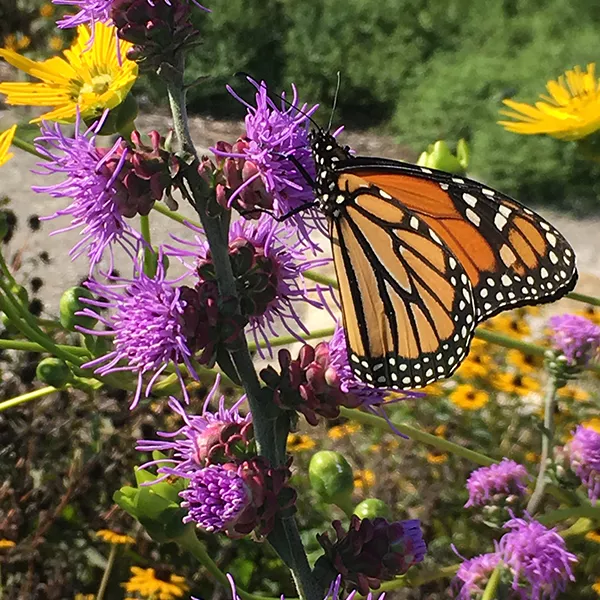
HabiTally, an iOS mobile application (app) with an Android version currently in development, which brings biodiversity and agriculture together.
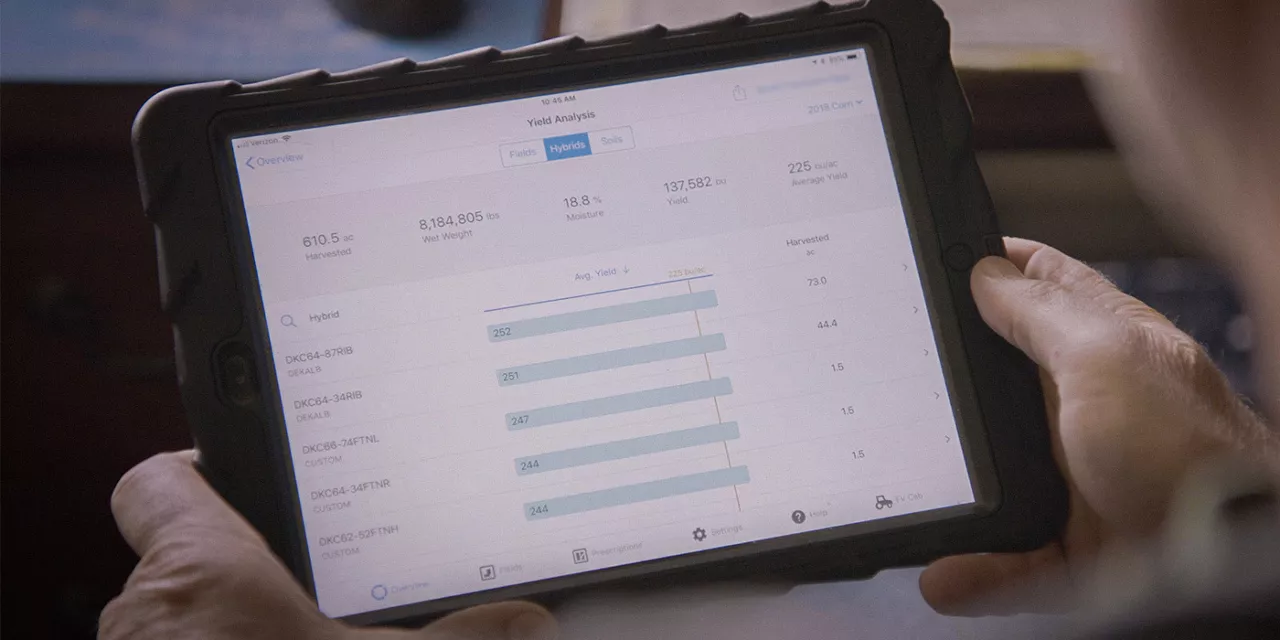
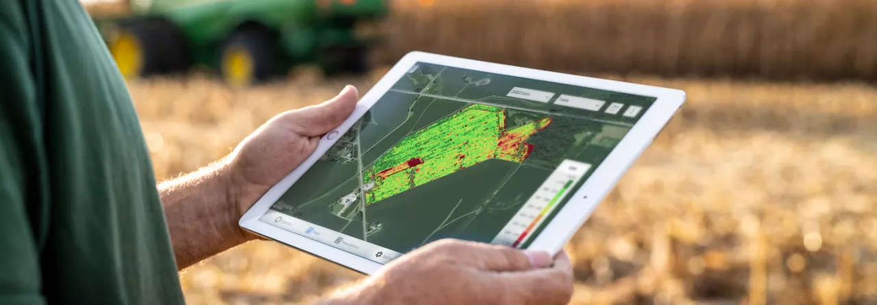
The yield analysis tool in FieldView™ allows you to easily review crop performance from your fields to make decisions for next spring and can uncover trends in your harvest data that might have gone unnoticed otherwise.

We know that integrating this platform into your operation doesn’t happen in a day. It takes time. We are invested in helping farmers navigate this new technology.
Beginning this fall, we will deliver our next step-change acceleration, transforming production software from hand-crafted model stacks to reusable capabilities and decoupling model logic to enable parallel iteration by science and engineering teams.
Machine learning and optimization models are digitally connecting our R&D pipeline to maximize value for farmers and helping Bayer redesign the testing network.
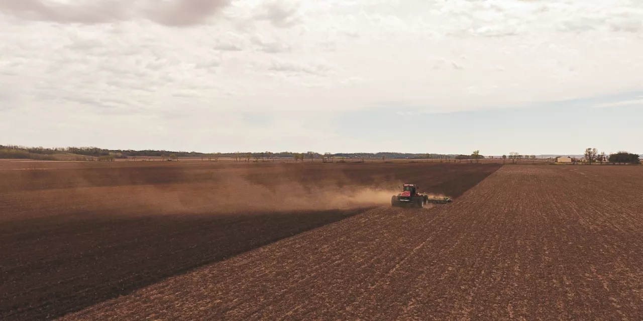
Wet, frigid conditions have resulted in substantial flooding in areas of the Corn Belt, which unfortunately means spring planting could be a washout for some farmers, and difficult for others. And for those who are able to plant, many will face obstacles caused by the colder and wetter than normal soils.
How to balance corn and soy acres is just one of the many impactful decisions you’ll need to make at planting, and with this year’s challenges, it’s important to take control of everything you can.
Farmers understand the value of split-planting trials, and digital farming tools like Climate FieldView™ have greatly enhanced the ease and benefits of this process.
Seed Advisor, a new Climate FieldView™ feature set for a limited launch in 2019 and Climate’s first dealer-delivered tool, uses predictive seed selection and placement technology to deliver on three areas of value: the right product, at the right population, in the right field.

At Climate LLC, our machine learning Data Scientists are exploring the potential of GANs in our disease identification model.
As I’ve logged countless miles across the Midwest, one insight I have gained is that every farm, and every farmer, is different.

As the focus on weather intensifies, farmers who use Climate FieldView™ often ask why our field-level estimates may differ from a rain gauge located on, or near, a field.
As you prepare for early harvest, here are some reasons why harvest is coming sooner this year and what you can do to protect yield and ensure everything goes as smoothly as possible.
Seed Advisor is our first predictive, data science-driven tool designed to provide seed dealers with a ranked hybrid recommendation by field and optimal seeding rate by zone to help their farmer customers manage risk and maximize yield.
With FieldView yield analysis, you can compare planting and other critical data to your harvest data, analyze seed performance and evaluate the impact of your other input decisions on yield this season, so you can maximize profitability next season.
Advances in modern agriculture have enabled a dramatic increase in crop yields and consequently, more security in the supply of food, feed, fuel and fiber to support a growing and more affluent global population.
Agriculture has been one of the last industries to become digitized; but very quickly the novel insights we are developing and the applications coming to the farm are beginning to change the industry. At Climate, this is what we are all about — helping farmers sustainably increase their productivity with digital tools.
Climate LLC and Monsanto Company partner through funding research programs with Professor Fred Below of the University of Illinois and Field Research Technician and PhD student Brad Bernhard to accelerate the development of strategies to manage higher corn planting densities.

Our teams continue to lead the way in developing our own innovative process models. These include crop development, evapotranspiration, soil moisture dynamics, nitrogen uptake by the crop, and quantitative precipitation estimates.
When our Weather Science team learned of the Pando failure, we acted quickly to backfill the University of Utah’s HRRR archive so the atmospheric science community could continue advancing our understanding of this great weather model.
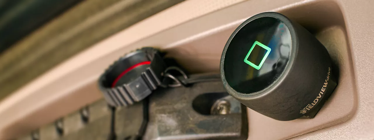
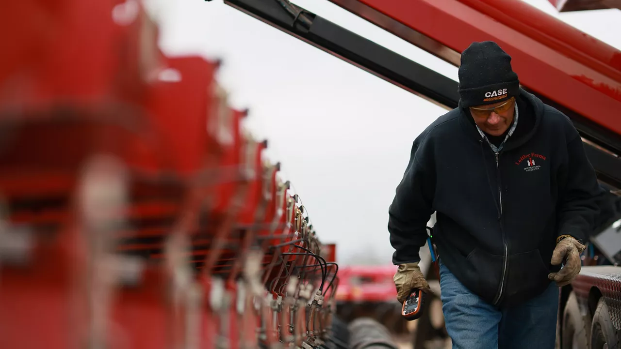
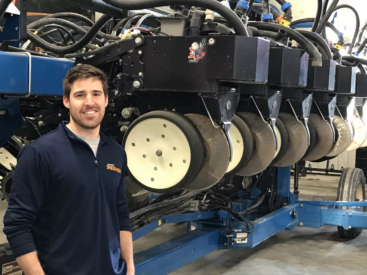
Equipment Compatibility Is Key for In-Cab Data Visualization
Farmers must grow increasingly more food, despite gradual reduction in available farmland.
More and more companies are building and applying deep learning models in their business.

Farmers must grow increasingly more food, despite gradual reduction in available farmland.
If you are currently in the fields planting, or just finishing, optimizing your seed investment is always top of mind.
Personalized Plans
24/7 Support
60+ Partners